


MLS® Smart Search · Open data explorer
Greater Sudbury Address Explorer
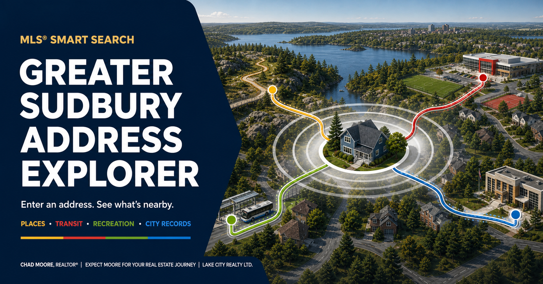
Enter an address and choose a distance. I’ll pull together nearby places and mapped City records, then sort the destinations from closest to farthest. Distances are approximate map distances, not walking times or directions.
What’s near this address?
Nearby published places
Local life & family
Food access, EarlyON, libraries, service centres, museums, youth places and heritage sites published by the City.
Getting around & safety
GOVA stops and public AED locations. A mapped AED does not confirm present emergency availability.
Parks & outdoors
Parks, playgrounds, trails, recreation routes and other mapped outdoor places.
Sport & community
Arenas, outdoor rinks, fields, courts, pools, beaches and other named recreation facilities.
Property and change nearby
These are mapped records near the selected address, not destinations and not necessarily records for the property itself.
For property-specific interpretation, continue to the Property & Neighbourhood Due Diligence Checker below.
Official datasets used
Address-relevant destination, property, infrastructure and change sources represented by this tool are shown. A source can be available, return no nearby records, or be temporarily unavailable.
Contains information licensed under the Open Data Licence – City of Greater Sudbury. Source availability is checked when the related search runs.
Official address-map alternative
These links open official sources. They supplement the tools above; they do not add new address-query layers.
-
City valid-address map
Use the City’s map as another starting point for a civic address. It does not establish ownership, parcel boundaries, registered title or a service connection.