






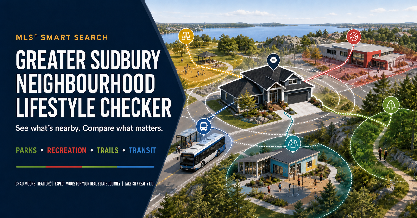
MLS Smart Search · Neighbourhood research
Greater Sudbury Neighbourhood Lifestyle Checker
Your short list
Check an address
Check an address above to start.
Addresses stay in this page session and are not saved. Zero or unavailable does not prove absence.
Four quick reads
Your nearby snapshot
Approximate straight-line distance from the selected City address point.
Nearby parks
Choose one of the four reads above to see the named places returned nearby.
Names come from the selected City source.
Google receives the selected coordinates only when you open its link. Its listings may differ from City records.
Use this as a starting point. Mapped results do not prove current access, availability or absence. Confirm important details and visit the area.
Four ways to look beyond the house
What matters in your day-to-day life?
Start with the part of daily life you care about most. Open a colour, choose a tool and keep your research together on this page whenever the source allows it.
GROWFamily & community supportLicensed child care, EarlyON programs, child-services access and school transportation lookup. Open toolsClose
MOVEGetting aroundGOVA routes and stops, live arrivals, cycling connections and trip planning. Open toolsClose
PLAYOutdoor life & recreationParks, playgrounds, trails, accessible parks, beaches, boat launches and active connections. Open toolsClose
LIVEEveryday servicesLibraries, food access, public AED locations and municipal fire stations. Open toolsClose
Official sourceInteractive resource
Selected neighbourhood resource
Loading the selected resource…
City information is used under the Open Data Licence – City of Greater Sudbury. This independent checker is not endorsed by the sources shown. See where this information comes from without leaving the page.
The information behind the page
Where this information comes from
I’ve brought together 14 City and community sources. Open a colour to see which published information supports each part of the checker.
City Address Points
Matches the address you select before the nearby checks run. A match does not establish ownership, occupancy, servicing or legal status.
GROWFamily routinesOpen sourcesClose
Licensed child care
Helps locate published child-care options. A location does not confirm a space, program or current availability.
EarlyON centres
Helps locate EarlyON programs and centres. Confirm dates, hours and registration requirements directly.
MOVETransit and daily travelOpen sourcesClose
Active GOVA routes
Shows the geography of scheduled transit routes. Check current schedules and service notices before relying on a trip.
Active GOVA stops
Shows published stop locations used in the nearby count. A stop pin does not confirm frequency, shelter or accessibility.
Cycling routes
Shows mapped cycling connections. Review traffic, separation, surface and seasonal conditions in person.
PLAYParks, trails and recreationOpen sourcesClose
Parks and playgrounds
Shows City-published park and playground locations used in the nearby count and map.
Recreation facilities
Shows published recreation facilities. Confirm current hours, bookings, conditions and seasonal access directly.
Accessible parks
Identifies published accessibility classifications. Confirm the exact route, surface and feature you need.
Routes and trails
Shows mapped trail and route records for exploring connections around an address.
Roads, sidewalks, paths and trails
Adds broader network context when a straight-line distance does not tell the full story.
LIVEEveryday and community servicesOpen sourcesClose
Food access locations
Shows published community food-access locations. Confirm programs, eligibility and hours directly.
Public AED locations
Shows registered public-facing AED locations. It is not an emergency-response or availability guarantee.
Municipal fire stations
Shows published station locations. It does not estimate response time or assess the safety of an address.
City information is used under the Open Data Licence – City of Greater Sudbury where identified. Other organizations retain their own terms.
A quick reality check
What the map can—and can’t—tell you
A pin, line or boundary can answer one question while leaving several important ones open.
Does “nearby” mean walkable?
No. A short map distance can still involve missing sidewalks, hills, crossings, winter conditions or a route that feels very different in person. Walk or drive the actual route.
Does a mapped service mean it is available?
No. Child care spaces, programs, facility hours, beach supervision and seasonal operations can change. Confirm current availability directly.
Does a transit line show real-time service?
Route and stop maps provide geographic context. Check MyBus, current GOVA schedules and service notices when frequency or timing matters.
Does the school tool confirm final assignment?
No. Board, language, program, grade, address and transportation rules can affect the result. Confirm directly with the appropriate board and consortium.
Does an accessibility label cover every need?
No. A mapped accessibility designation may not describe every route, surface, entrance, washroom or individual requirement. Confirm the specific features you need.
Is this a substitute for neighbourhood visits?
No. Visit on weekdays, evenings and weekends when possible. Pay attention to traffic, lighting, noise, parking, winter access and how long routine trips actually take.
Use it before you commit
A practical lifestyle review
Open the checks that matter to you and use them while comparing short-listed homes.
Outdoor life & waterfront
- Check the actual route to parks, trails, beaches or boat launches.
- Confirm seasonal hours, parking, fees, supervision and permitted uses.
- For waterfront homes, separate public recreation context from property-specific shoreline and water-access due diligence.
Commute & daily travel
- Test the trip during the times you will normally travel.
- Compare driving, transit, cycling and walking options.
- Review transfers, service frequency, winter conditions and backup routes.
Family routines & programs
- Confirm child care availability rather than relying on location alone.
- Check EarlyON program dates and registration requirements.
- Use the consortium lookup, then confirm school and transportation details directly.
Everyday access & fit
- Compare grocery, pharmacy, library and recreation trips from the home.
- Visit after dark and during busier periods.
- Decide which conveniences must be close and which are acceptable by car.
Keep going
Take the next useful step
Lifestyle fit is one part of a sound buying decision. Connect it with listings, property research and a clear buying plan.
Found a home that fits how you live?
Maps help narrow the field. A thoughtful showing helps you test the route, setting, trade-offs and property together. Send me the listing and tell me which lifestyle priorities matter most to you.